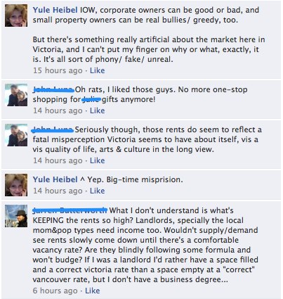
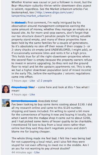
Yesterday’s post (Dying Downtown Victoria BC) generated a fair bit of comment on Facebook. I decided to take screenshots of the comments and post them here. (However, since I haven’t had time to ask the people who commented whether they were ok with having their comments taken from Facebook’s walled garden into the open access world of the blog, I erased their names.)
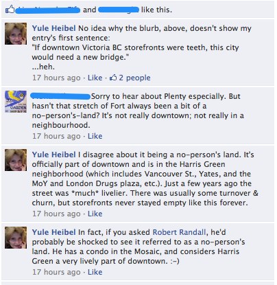
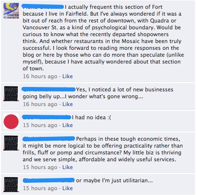
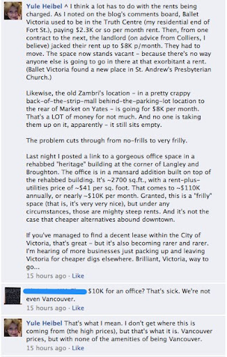
First, a friend “shared” my link to his page, which produced the first comments string, below (with names erased in yellow). This is followed by the comments posted to my Facebook page (names erased in blue).
Enjoy!
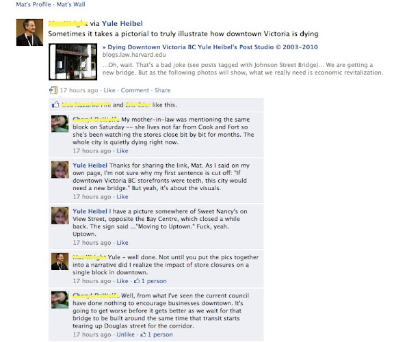


^ That’s from a friend’s page.
Below, comments from my page:


FYI: about a year or so ago, I had a most interesting chat with a retired City Hall employee who had worked his way up from literally digging ditches for the City as an 18-year old to going into engineering. One of his hobbies was researching land titles. From what he told me, I got the impression that the city doesn’t have a real data base on who owns what (which was echoed by a woman who tried to find out from City Hall how many rental units there were in Victoria: the City couldn’t tell her). Anyway, my contact was quite insistent that a lot of property is in family hands and hasn’t changed ownership in several generations. The heirs can make more money sitting on half-empty buildings, charging high rents for the storefronts, than they would if they tried to redevelop their properties (or even sell them). The tax structure is set up to make it more attractive to hold and let decay than to develop. Add to this the mania we have about height restrictions and not allowing density, and perhaps a pattern emerges…
{ 3 comments… read them below or add one }
Was thinking it would be interesting to put together a Google Maps mashup/AR thingy showing vacant storefronts, rents, property taxes, prior tenant, owners, etc. Another way to visualize the changes…most of the data is probably not available, though.
Something else occurred to me recently – unlike many other cities (Vancouver is the one I am most familiar with), there never seems to have been much/any mixed residential/commercial space in downtown Victoria. Most of Fort St. is 1-2 story buildings. Easier for entire blocks to slip away without too many people noticing if nobody lives there…Actually, easy for lots of people to forget about downtown altogether, when things are getting more and more suburbanized and, to my dismay, plenty of people seem ok with this.
BRILLIANT, Shea, just brilliant re. the Google maps mashup. I honestly believe that if people had more information and were able to understand how economics works, they’d put pressure on City Hall to do the right thing (see my post from today) and the NIMBYs might quiet down, too. My post specifically addresses the problem of what I call waste-of-space buildings – and god knows they absolutely LITTER our downtown. It’s because development is prohibitive (the City makes sure it is), and the City makes it easy for property owners to sit on POS property that lets them collect a safe rent.
Any ideas on how to get the data? Lots of it is tighyl held by VREB/MLS (don’t get me started)…
Just saw an article in the Vic News about the city allowing higher density (4:1 vs current 3:1 something or other to something or other ratio ), which is possibly a positive step, but there’s a quote along the lines of “if you want he next ministry building built downtown…”. When was the last ministry building built anyway? (Atrium is technically not Ministry). And show me one that actually has a vibrant streetscape associated with it… Some elements missing to the cited example, clearly. They need to give thought to the kind of development that will actually create vibrancy, instead of just providing high rents to commercial landlords. (i.e. mixed use commercial/retail/residential), and not just large floor plate commercial – space that is attractive and accessible to small technology and creative organizations.